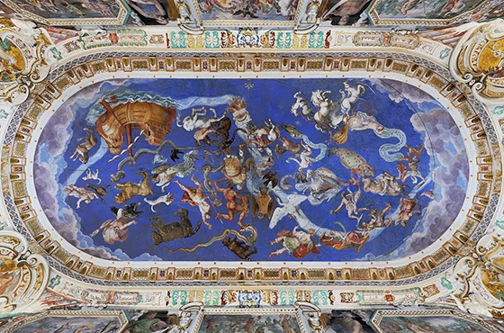
The conference seeks to propose an alternative interpretation, grounded in the historical geopolitics of the early modern period, of the historical relationship between cartography and military practices. While the scholarly literature on the history of cartography has consistently emphasized the concrete and operative connection between geographical representation and the conduct of wars, strategic planning, and military action in the field, the Seminar aims to reverse this perspective by advancing a different interpretative framework for cartography: namely, as an instrument employed for the stabilization of global order, the pacification of relations among states, and intercultural exchange.
In particular, the contributions will address the dual cartographic dimension implied by this perspective: cartography as a means of making peace; and cartography as a semiotic platform that displays signs of pacification, rather than merely battles and military conflicts.
Info: Alessandro Ricci (alessandro.ricci@unibg.it)
In collaboration with
"Political Geography” (Elsevier)
Agei – Associazione dei Geografi Italiani
With the participation of the PhD school in “Landscape Studies for Global and Local Challenges” (University of Bergamo)
2 November 2026 | 9.00am - 5.00pm
Doctoral Colloquium with the PhD students in L.S.G.L.C
9.00 AM
Introduction
- Sergio Cavalieri, Rector of the University of Bergamo
- Alessandra Ghisalberti, Coordinator of the PhD “Landscape Studies for Global and Local Challenges” of the University of Bergamo
- Filippo Menga, Editor-in-Chief of Political Geography
SESSION I - EARLY MODERN MAPS AS TOOLS OF PEACE | Chair: Alice Raviola, University of Milano
9.30 - 10.15
- Terra Universale: Cognitive and Moral Implications in Sixteenth-Century | Jean-Marc Besse, CNRS
10.15 - 11.00
- Symbols of an Uneasy Peace: Mapping the Venetian–Ottoman Border in Northern Dalmatia, 1576–1650 | Lena Mirošević and Josip Faričić, University of Zadar
11.00 - 11.30
- Coffee break
11.30 - 12.15
- Western missionaries in China, maps and map-making in the Modern Age. Which concept of ‘peace’ on the background? | Stefano Piastra, Università di Bologna
12.15 - 1.00 PM
- Maps of Peace or the Concealment of War? Nanban Maps, Folding Screens, and Dictionaries in Sixteenth and Seventeenth Century Japan | Angelo Cattaneo, CNR
1.00 PM - 2.00
- Light lunch
SESSION II – SYMBOLS OF PEACE IN EARLY MODERN MAPS | Chair: Maria Luisa Sturani, University of Turin
2.00 - 2.45
- Theaters of War, Cartographies of Peace: Navigating Discord and Harmony in Early Modern Map Cartouches | Chet Van Duzer, University of Rochester
2.45 - 3.30
- Lines of Division and Signs of Interaction ca. 1500: Insights from the Cantino Map | Francesca Fiorani, University of Virginia
3.30 - 4.00
- Coffee break
4.00 - 4.45
- Lines of Geopolitical Interpretation and the Question of Peace in Gutiérrez’s Map (1562) | Louise Bénat-Tachot, Université de Paris - Sorbonne
4.45 - 5.30
- Peace and War in Renaissance Catholic Cartographic Cycles and Monumental Maps | Alessandro Ricci, University of Bergamo
5.30 - 5.45
- Final Remarks by Federica Burini and Maurizio Zignale, University of Bergamo